

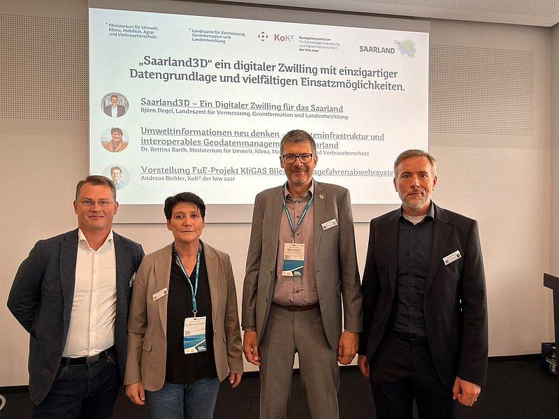
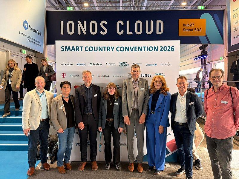
From October 13 to 15, 2026, the Smart Country Convention (SCCON) took place at Messe Berlin. Together with Environment Minister Petra Berg and colleagues from the Ministry of the Environment and the State Office for Surveying, Geoinformation, and Land Development (LVGL), KoK² participated in the event with Andreas Biehler. Following Minister Berg’s keynote address, Björn Degel from the LVGL first presented the Saarland3D project as part of the “Deep Dive Saarland” session. Bettina Barth from MUKMAV explained Saarland’s geodata infrastructure. Andreas Biehler presented the KliGAS project as well as KoK²’s new project, the Digital Twin for Water in Saarland (DiFaWa), to the interested audience of experts. There were “standing ovations for the Saarland.” Our KliGAS project, in particular, sparked a great deal of interest among participants from other federal states.
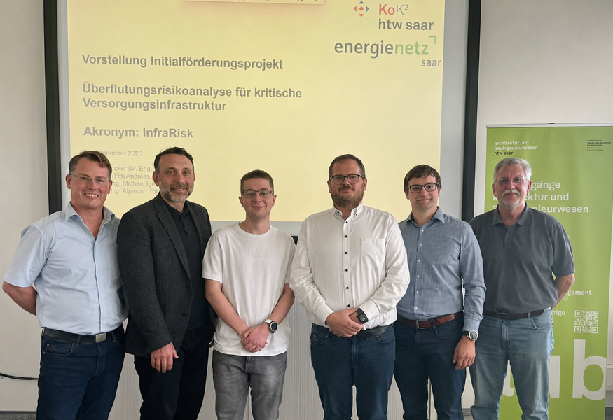
On September 24, 2026, the results of the project “Flood Risk Analysis for Critical Utility Infrastructure”—InfraRisk for short—were presented at htw saar. The project was initiated by Prof. Yörük and Prof. Igel in collaboration with energis-Netzgesellschaft GmbH. The project initially assessed the risks to critical utility infrastructure in pilot areas in Saarland and established an early-warning system with flood forecasts for individual network nodes. During the course of the project, the KliGAS Infra project was also established. Joshua Becker (M.Eng.) presented the project’s key findings. Jens Leinenbach, Managing Director of energis, assessed InfraRisk and the developed approaches to analysis and early warning as practical and very well suited for application in crisis management. The collaboration between htw and energis will be further intensified in this area.
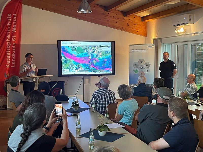
From September 14 to 20, 2026, Climate Adaptation Week will take place nationwide at the initiative of the Federal Ministry for the Environment. On September 15, Andreas Biehler from KoK² participated in an event organized by the St. Wendel district at the Disaster Management Center in Namborn, giving a presentation to interested citizens about the KliGAS R&D project. In addition, the St. Wendel district’s Adapt and CliRAs projects were presented. The event was well received by the public, and a lively discussion took place during the Q&A session.
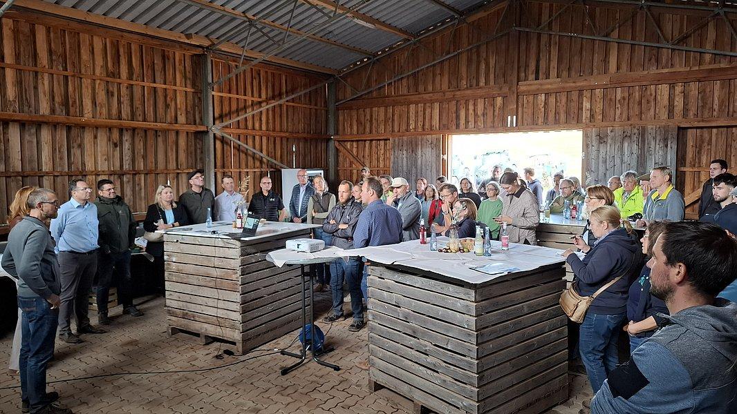
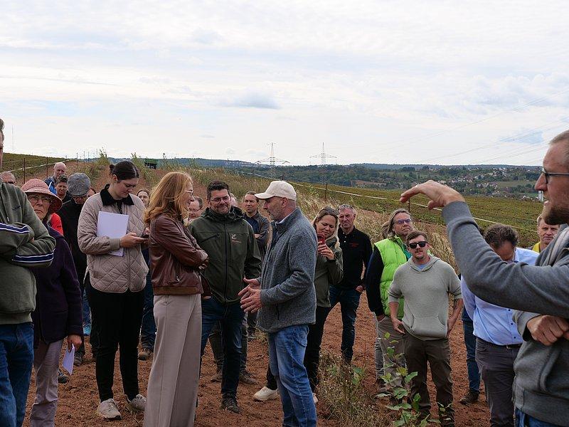
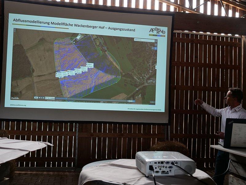
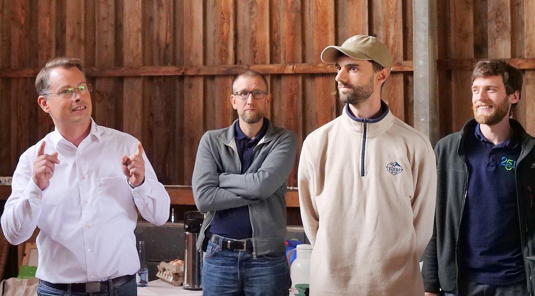
In addition, on Thursday, September 17, a field day was held at the Wackenberger Hof in Eppelborn-Wiesbach for the Afaktive agroforestry project, in collaboration with the Dörr family from the farm and colleagues from IfaS. Over 70 participants from the political sphere—including Environment Minister Berg and Mayor Feld—as well as from agriculture, districts, and municipalities were in attendance. Following an introduction to the project’s content, attendees toured the first agroforestry pilot sites in the Saarland. There was a lively discussion about funding opportunities, regulatory approval issues, and practical implementation. The Dörr family rounded out the event with regional delicacies, most of which were produced on their own farm.

From June 15 to 19, 2026, Disaster Preparedness Week will take place in the Neunkirchen district. As part of this event, the district’s disaster preparedness team will visit each municipality with an information booth to educate residents on important topics related to hazard prevention and crisis management.
In addition to the disaster management team, we from KoK² at htw saar and the respective energy providers will also be on site. Together, we will provide information on current projects and measures in the areas of disaster management and disaster preparedness, and we will be available to answer questions and engage in discussions.
Locations:
Monday, 9:00 a.m. to 1:00 p.m.: Neunkirchen, Stummplatz
Tuesday, 9:00 a.m. to 1:00 p.m.: Eppelborn, Güterbahnhof
Wednesday, 9:00 a.m. to 1:00 p.m.: Ottweiler, Schlossplatz
Wednesday, 1:30 p.m. to 5:00 p.m.: Spiesen-Elversberg, Rathausplatz
Thursday, 9:00 a.m. to 1:00 p.m.: Schiffweiler, Dorfplatz
Thursday, 1:30 p.m. to 5:00 p.m.: Merchweiler, Kaiserterrassen
Friday, 9:00 a.m. to 1:00 p.m.: Illingen, weekly market

On May 19, 2026, the 2nd Saarland Climate Congress, organized by the Ministry of the Environment, Climate, Mobility, Agriculture, and Consumer Protection, took place at the Theater am Ring in Saarlouis. At the event, recognized experts from the fields of agriculture, forestry, and disaster management presented strategies and measures for proactive protection against the effects of climate change. Following the presentations, panel discussions were held with the speakers and a select panel of experts. Our scientific director, Prof. Yörük, participated in the presentations and panel discussions, just as he did at the first Climate Congress. Together with Dirk Schäfer from the St. Wendel Disaster Management Center, he presented our flagship project, KliGAS.
In addition to the main conference program, the event offered the opportunity to network with regional and national exhibitors. KoK² was also represented as an exhibitor and, together with the CEC at htw saar, presented its current research projects, measurement technology, and new educational offerings in the fields of civil protection and GIS.
We would like to thank the Ministry of Environment, Climate, Mobility, Agriculture, and Consumer Protection for organizing this successful event, as well as all visitors for their keen interest and the engaging discussions.

The Geodesy Forum took place on April 23 and 24, 2026, at the BASF Shareholders’ House in Ludwigshafen. It is the central gathering place for the German geoscience community and is organized once a year by the DVW e.V.
Over the course of the two days, approximately 200 industry participants addressed the challenges posed by climate change and the resulting demands on geodesy, land management, and disaster preparedness.
In a technical presentation at the Geodesy Forum, our Chief Operating Officer, Andreas Biehler, introduced KoK² and its current research priorities. He also discussed the geodata required for the respective projects and their applications.

On April 1, 2026, the KliGAS symposium—organized by the Saarland University of Applied Sciences (htw saar) and the Saarland Ministry of Environment, Climate, Mobility, Agriculture, and Consumer Protection of Saarland (MUKMAW). 160 experts from academia, government agencies, disaster management, and the field exchanged views on the Climate Hazard Defense System (KliGAS), which is currently under development at the htw saar’s Center of Excellence for Climate Impact Adaptation and Disaster Management (KoK²).
Prof. Dr.-Ing. Dieter Leonhard, President of htw saar, along with State Secretaries Sebastian Thul (MUKMAV) and Torsten Lang from the Ministry of the Interior, Construction, and Sports, opened the symposium. They highlighted the importance of early warning systems against the backdrop of increasing extreme weather events.
“Extreme weather events pose growing challenges for our society in terms of long-term, sustainable preparedness on the one hand, and the ability to act quickly in acute situations on the other. KliGAS, which is being developed for the Saarland at the htw saar’s KoK² Center, will support emergency responders and government agencies and contribute to the protection of citizens, businesses, and infrastructure. By addressing climate impacts, disaster prevention, and disaster management, the center tackles relevant issues of public services and safety,” said Leonhard, himself a water resources engineer. The event’s supraregional significance was also underscored by the participation of institutions such as the Federal Institute of Hydrology and the Luxembourg Water Management Office.
The conference focused on current research findings, practical case studies, and prospects for the statewide rollout of KliGAS. In the morning, expert presentations covered the KliGAS Blies research project, the system’s current state of development, and state funding opportunities for water level monitoring and early warning systems. Speakers from the company 450connect were invited to discuss the system’s security in the event of a potential blackout (power and internet outage). In the afternoon, workshops were held to promote collaboration between the various user groups and the developers. In a comprehensive simulation scenario based on the 2024 Pentecost floods, speaker Joshua Becker (Project Engineer, KoK2) demonstrated the core functionalities of KliGAS. This was followed by two workshops that addressed possibilities for cross-institutional use of KliGAS and the expansion of the user interface. The workshops led to the formation of a working group tasked with developing proposals for a cooperation agreement. It also became clear that KliGAS can already make a valuable contribution to managing flash floods and high water levels at its current stage of development, and that participants prefer a state-wide approach in this regard.
“KliGAS links data from various sources in real time and makes it immediately usable by emergency responders. In addition to standard water level forecasts, the focus of this new development is on forecasting flood-prone areas, water depths, and flow velocities. In this way, the system supports informed decision-making and improves the response capabilities of emergency responders during extreme weather conditions,” explained Prof. Dr. Alpaslan Yörük, scientific director of KoK².

On October 6, 2025, the FITT Future Conference took place at the E-Werk under the theme “Innovation x Diversity = Future.”
Alongside the conference program, a networking area offered the opportunity to learn about current research and development projects from the FITT and htw saar ecosystems and to meet the event partners in person. KoK² was also represented there with a booth. The goal was to present our current research projects, establish new collaborations, and exchange initial ideas for joint innovation initiatives.

From October 2 to 4, 2025, KoK² had a booth at the “Future Through Change” theme area during the German Unity Day festival in Saarbrücken. This provided an opportunity for extensive dialogue with citizens. In addition, the extreme heavy rainfall hazard map for the Saarland, published in April 2025, was presented, along with various measuring devices such as the QLiner II from OTT.

KoK² at the IAHR World Congress in Singapore
From June 22–27, 2025, the International Association for Hydro-Environment Engineering and Research (IAHR) World Congress will take place in Singapore—marking its 41st edition this year.
Under the theme “Innovative Water Engineering for Sustainable Development,” researchers from around the world will present their work through talks and posters, engage in discussions, and network with one another.
Our doctoral student Rebecca Hinsberger will be attending the conference this year and presenting her research project in the form of a poster.
Her work focuses on simulating soil erosion during heavy rainfall.


On April 8, 2025, Environment Minister Petra Berg and Prof. Dr. Alpaslan Yörük from htw saar presented new hazard maps and models for heavy rainfall events. Among other things, these show for the first time which areas would be affected in a “worst-case” scenario, how severe the flooding could be, and which transportation, access, and emergency routes would be risky or even impassable due to high flow velocities or deep water. The 2024 Pentecost floods clearly demonstrated that extreme flooding and heavy rainfall events must be expected at any time. For this reason, as part of the research project “Heavy Rain and Erosion Hazard Maps of the Saarland,” the Ministry of the Environment commissioned Prof. Dr. Alpaslan Yörük and his team at htw saar to create maps for extreme heavy rain events. These maps serve as a bridge between prevention and hazard mitigation. They show areas prone to flooding from heavy rainfall, including water depths, flow paths with directions and velocities, as well as floodplains along the Blies, Prims, and Saar rivers during extreme river flooding. The calculations are based on a two-dimensional surface runoff model and a 3D terrain model. For heavy rainfall, a 100-year event with 39.6 to 44.2 millimeters of rain per hour and an extreme event with 200 millimeters of rain per hour were considered. By way of comparison: During the 2024 Whitsun flood in Saarland, 113 millimeters of rain were measured in 24 hours.
Along the Blies, Prims, and Saar rivers, more extensive flooding is expected during extreme river flooding events than during heavy rainfall. These rivers were therefore not included in the heavy rainfall model. However, the extreme heavy rain hazard map does show flooding along these rivers caused by extreme river flooding to prepare for the “worst-case scenario.”
The new hazard assessment maps complement the heavy rain hazard maps by combining flood depths and flow velocities. Even low water levels can be dangerous when flow velocities are high. These hazard assessment maps were created by the Geodata Center team with support from the htw research group.
The hazard classes range from 0 (low) to 3 (very high). They assess the risk to people, vehicles, and buildings. The maps show how water spreads across the ground surface during extreme heavy rain events, which locations become inaccessible during such events, and which escape routes should be avoided. In this way, they combine preparedness and disaster management.
Furthermore, the maps reveal connections that extend beyond municipal boundaries, thereby promoting cooperation across municipal lines. They provide a foundation for better preparedness and faster responses to large-scale extreme events.
In the next step, Prof. Dr. Yörük’s team will create a statewide erosion hazard map. This map will show where heavy rainfall erodes soil, how the material is transported, and where it is deposited. The results will help plan measures to combat erosion, prevent sediment from entering settlements or water bodies, and identify priority areas for mitigating the effects of erosion.
In addition, the surface runoff model developed as part of this research project will be integrated into the “Blies Climate Hazard Mitigation System” (KliGAS) project, which aims to develop a statewide early warning system. While the heavy rainfall hazard maps identify risk areas—that is, the “Where?”—KliGAS is intended to provide, upon completion of the third project phase, a statewide early warning system that also answers the questions “What?,” that is, the impacts of specific forecasted heavy rainfall events, and the “When?”, that is, the timing.
The extreme heavy rainfall hazard maps and hazard assessment maps are available on the state’s geoportal at: www.saarland.de/starkregen

Recent extreme weather events, particularly the Pentecost floods, have highlighted the urgent need for effective early warning systems. In light of the consequences of climate change and the increase in heavy rainfall events, it is crucial to equip cities and municipalities with appropriate measures to minimize damage.
Under the leadership of Prof. Dr. Alpaslan Yörük, Professor of Hydraulic Engineering and Water Resources Management, the team at the university’s Center of Excellence for Climate Impact Adaptation and Disaster Prevention is supporting the districts of St. Wendel, Neunkirchen, and the Saarpfalz district in setting up a modern early warning system for flooding and heavy rainfall events in Saarland.
The “Blies Climate Hazard Mitigation System” (KLIGAS) project, funded by the Ministry of the Environment, aims to establish a statewide early warning system. It consists of three phases. In the first phase, the pilot districts of St. Wendel, Neunkirchen, and the Saarpfalz District are setting up independent early warning systems. They are being supported in this effort by the team led by Professor Dr. Alpaslan Yörük. The project uses the Delft-FEWS software, which consolidates the existing measurement systems and data in each district—including water levels, radar data, precipitation measurements, and data from the State Office for Environmental Protection and Occupational Safety—and derives warning criteria from this information.
In the second phase of the project, all three systems are to be integrated to develop a joint, innovative early-warning system. The new early-warning system will rely on artificial intelligence (AI). What makes it unique: The training and test data consist not only of historical measurements but also of simulated figures that can account for changes resulting from climate change. Using real watershed models, many different scenarios involving flooding and heavy rainfall are simulated to create a large database for the AI. In an emergency, the AI can use this data to quickly generate a realistic forecast of flood-prone areas and water levels, allowing emergency responders to make the necessary preparations as early as possible. Another key feature is the ability to predict flooding not only based on current weather data but also on medium-term forecasts from the German Weather Service—which currently play hardly any role in such systems—thereby enabling warnings to be issued even earlier “before” the event occurs.


