
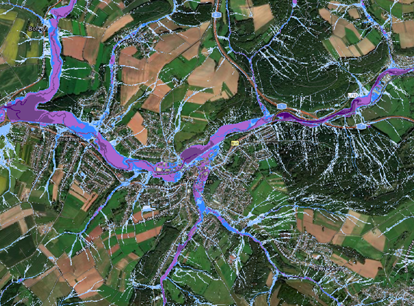
As part of the SER-SL project for MUKMAV, extreme rainfall and soil erosion maps are being created to provide a reliable information base for assessing the risk situation throughout the Saarland. The extreme heavy rainfall hazard maps for the entire Saarland were published in April 2025 and are available to the public on the Saarland Geoportal.
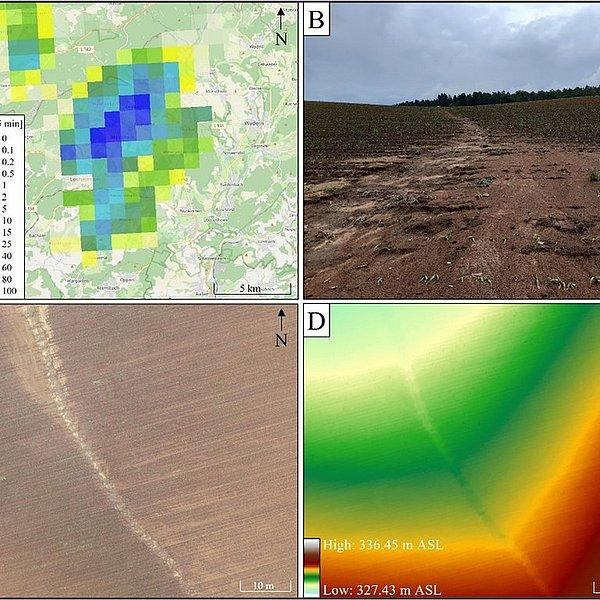
In addition to flooding caused by heavy rainfall, soil erosion associated with heavy rainfall also poses a significant threat, as it leads to damage in urban areas, the removal and loss of topsoil on agricultural land, and the risk of nutrients and pollutants entering surface waters. As part of the SEROMO project, a new model is being developed that combines the precise calculation of surface runoff with the simulation of soil erosion on agricultural land. The model development is part of Rebecca Hinsberger’s doctoral dissertation. The project results were presented to the municipality of Eppelborn in June 2025. Due to the unique topography and specific land use patterns in the municipality of Eppelborn, soil erosion has occurred frequently there in the recent past, which is why the municipality provided extensive support for the research project. This project was also funded by MUKMAV. In the next step, the developed model will be applied in the SER-SL project to create standardized soil erosion maps for the entire Saarland region. These are expected to be available next year.